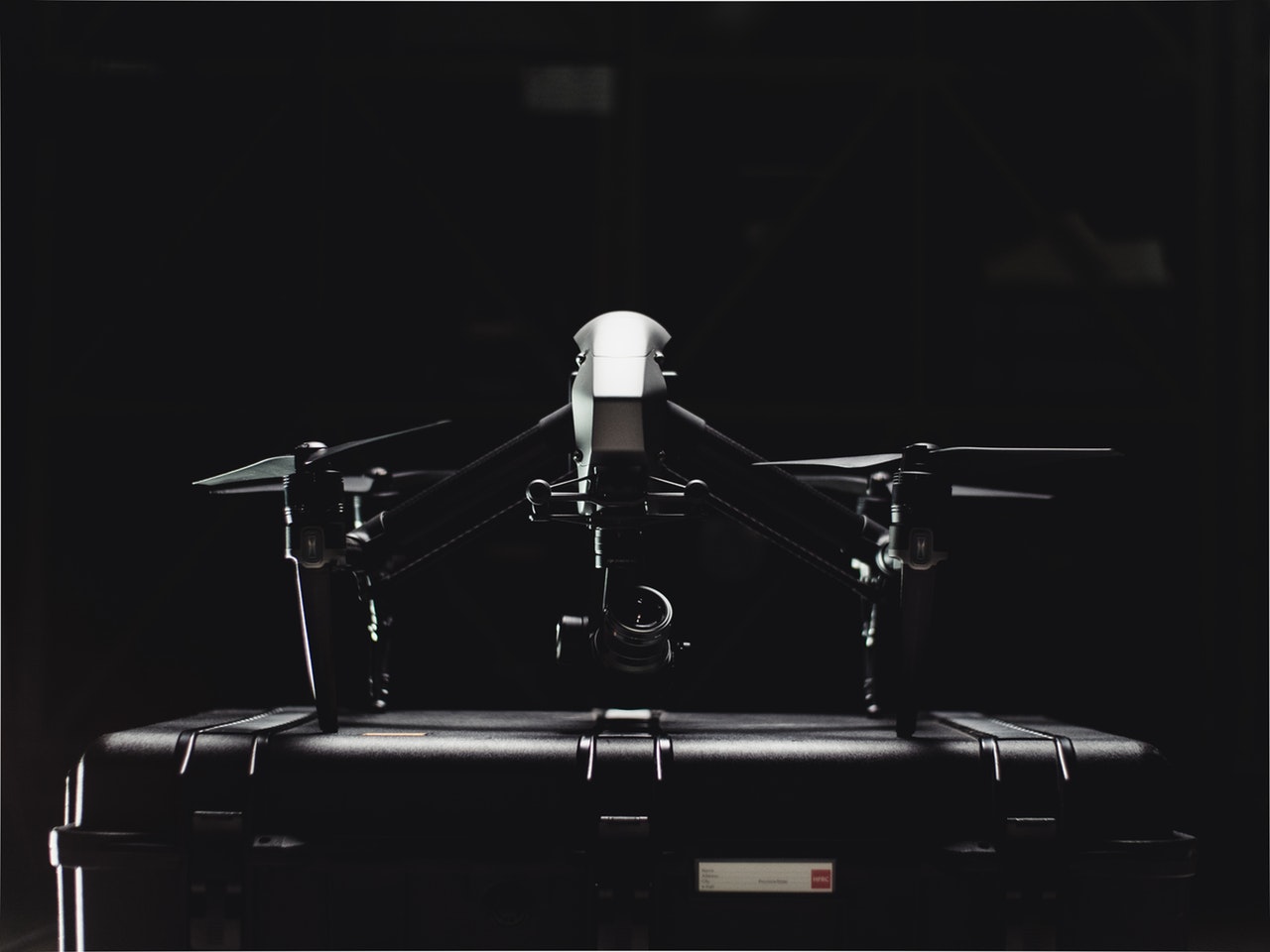
Debuting back in 2016, the B4UFly got a lot of flack for not being up to par as far as features and functionality, but that’s all changed.

Introducing the new and improved B4UFly app, the product of a collaboration between the US government’s Federal Aviation Administration and Kittyhawk, the unmanned aerial systems company.
Executive Director of the FAA’s UAS Integration Office Jay Merkle said of the B4UFly app’s improvements, “B4UFly is a hallmark of our commitment to ensuring drones are safely integrated into the NAS. Our partnership on B4UFly with Kittyhawk represents the kind of public-private partnership that is essential to advance this burgeoning industry. As the skies become more crowded and UAS operations become more complex, basic airspace situational awareness, especially for the newest of fliers, will be essential.”
As DPReview points out, these updates come at a great time for drone pilots as access to the Low Altitude Authorization and Notification Capability (LAANC) protocols allowing for pretty much on the spot approval for drone flight in sensitive airspace just rolled out this year.
The app gives users designations such as “Good to go,” “Do not fly,” and “Warning” when it comes to where the drones can fly. But that’s not all the app does. It also has a plethora of resources for drone pilots including educational materials. Future updates envision an emergency feature and weather warnings.
Kittyhawk’s CEO Jon Hegranes said of the app, “While the Wright brothers had a vast and soft landing area, drone pilots face sometimes complex rules and restrictions that can change quickly. Our goal with B4UFly is to make knowing when and how you should fly simple, quick, and reliable.”
Have you used B4UFly? What do you think? Does it sound like something you would use? Let us know your thoughts in the comments below.
Also check out our other photography news stories by clicking here.
[DPReview]


