Photography is pretty much about the light and being prepared for the right moment, but there are some genres that require some extra planning and a few extra resources.
Landscape and astrophotography are usually the genres that demand more patience than any other (besides wildlife photography!).

Many great shots made in the outdoors require some previous scouting, and even a calendar and some math to spot the perfect lighting.
When travelling far away from home, any tool that will squeeze the best out of our money and time is pretty much appreciated. Therefore, we want to introduce you to a tool that makes this possible for many photographers around the globe, The Photographer's Ephemeris.
What is The Photographer's Ephemeris Exactly?
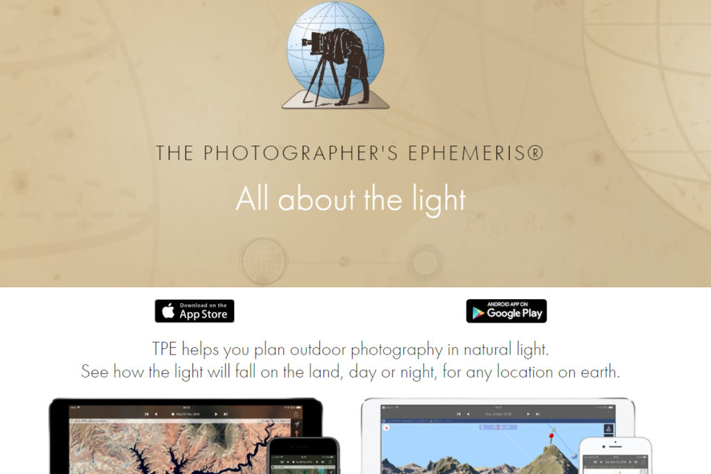
Basically, it is a tool that predicts the location and movement of the sun and the moon at pretty much any time anywhere. But beyond that, it gives a clear view of the direction of the light given by both bodies throughout the day and other interesting information too.

Where Can I Get It?
You can get it at their website, and there are various options you can select.
First, there is the web-based version which you can get here. The web-based app is free for anyone to use. Then you have the iOs and Android versions which cost near $3. There is also a very helpful book written by Bruce Percy and Stephen Trainor available here.
In the book, you'll get plenty of information not only about the app itself but also how to use it upon different scenarios. The book provides a series of case studies that illustrate how the app could be used depending on several locations around the globe.
What Information Does It Show?
* Web App
Here you get an enhanced Google Map with some interesting features. On the top you have two major features, a calendar (for picking any day you want) and a location search tool, to navigate around the globe in a seamless way. There is a small tool for selecting the elevation at the horizon as well.
At the bottom of the map you have two different displays of information, the daily timeline that shows different events throughout the day:
- Astronomical Start
- Nautical Start
- Civil Start
- Sunrise
- Moonrise
- Sunset
- Civil End
- Nautical End
- Astronomical End
- Moonset
You should keep an eye on those with the coloured bar at the top.
Beyond that, there is another timeline that illustrates the movement of the moon and the sun throughout the day in terms of degrees (with the magnetic north as a guide).
There is a geodetics tool used for pinpointing a secondary location, which happens to be pretty helpful when you are planning on travelling and illustrating the differences between locations.
It also allows you to swap between primary and secondary location so you can have all the information about each location with a single click. This is pretty useful in order to understand the differences between locations when it comes to available light.
Last but not least, there are also some helpful lines that show the movement of the moon and the sun and the direction in which light gets projected at the selected location.
How Does it Work?
It works based upon the criteria that you select. All you need to remember is that the lines are representing projecting light from way beyond into the selected location and not the other way around.
Who is it For?
It is basically for any photographer that wants to get away from a studio and wants to have some control over available light. That widens up the possibilities to pretty much any photographer out there. You don't have to be a landscape photographer in order to have fun with the Photographer's Ephemeris.
Does it Replace Scouting?
Even though it has 3D map capabilities, it certainly doesn't replace scouting at all. Nevertheless, it can give you a better idea about the behaviour of available light at a specific location anywhere in the world.
The Photographer's Ephemeris has been around since 2008 in order to avoid all the hassle of paper-based topographic maps, protractor, calculators, pencils and other stuff that could be easily replaced by a single and elegant digital solution.
In 2014 it became a more accessible tool thanks to the appearance of the web app, and nowadays is one of the most popular tools among outdoor photographers around the world.
As always, you should cross-reference the information you get from the tool with reliable information from other photographers, as well as weather maps in order to avoid any unpleasant surprises.


